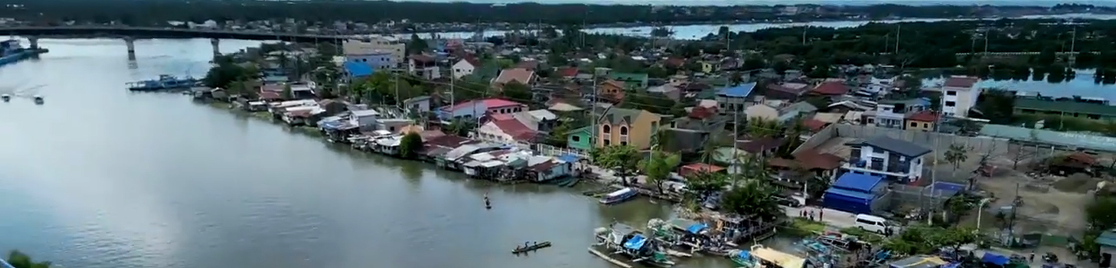

Dagupan City covers a total land area of 40,079,278.93 square meters or about 4,008 hectares (as per City Assessor’s Record). However, the digitized cadastral maps reveal that the sum of the lands within Dagupan’s boundaries is 4,447.10 hectares. It is bounded by the Lingayen Gulf in the north, San Fabian in the northeast, Mangaldan in the east, Calasiao in the south and Binmaley in the west. The city falls with latitude 160 01’ to 160 07’ north and longitude 1200 18’ to 1200 23’ east.
- Home
- The City
- About Dagupan City
- History
- Mission and Vision
- Official Seal
- Dagupan Hymn
- Getting Here
- Map of Dagupan City
- ICT Roadmap
- Climate
- Geography
- Population
- Physical Profile
- Financial Resources
- Socio Economic Activities
- Social Services (Education, Health & Nutrition)
- Housing
- Protective Services
- Infrastructure / Facilities
- Administrative Machinery
- Barangay Captains
- Department Heads
- National Agencies
- Past Mayors
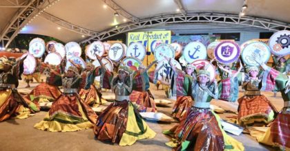
- National Artists from Dagupan City
- Calendar of Activities
- Transparency Seal
- Financial Report
- Bids & Awards
- Officials
- Invest
- Residents
- Online Services
- Citizen’s Charter
- Applying for a New Business Permit
- Applying for Renewal of Business Permit
- Applying for Amendment to Existing Business Permit
- Retiring a Business Operation
- Securing Certification of Business Record
- Issuance of Certified Copy of Business Permit
- Securing Mayor’s Clearance
- Issuance of Tricycle Operator’s Permit
- Securing Mayor’s Permit for the Following Activities or Undertakings
- Issuance of Community Tax Certificate
- Job Opportunities
- City Directory
- Tourism
- Ulat sa Bayan
- Contact Us